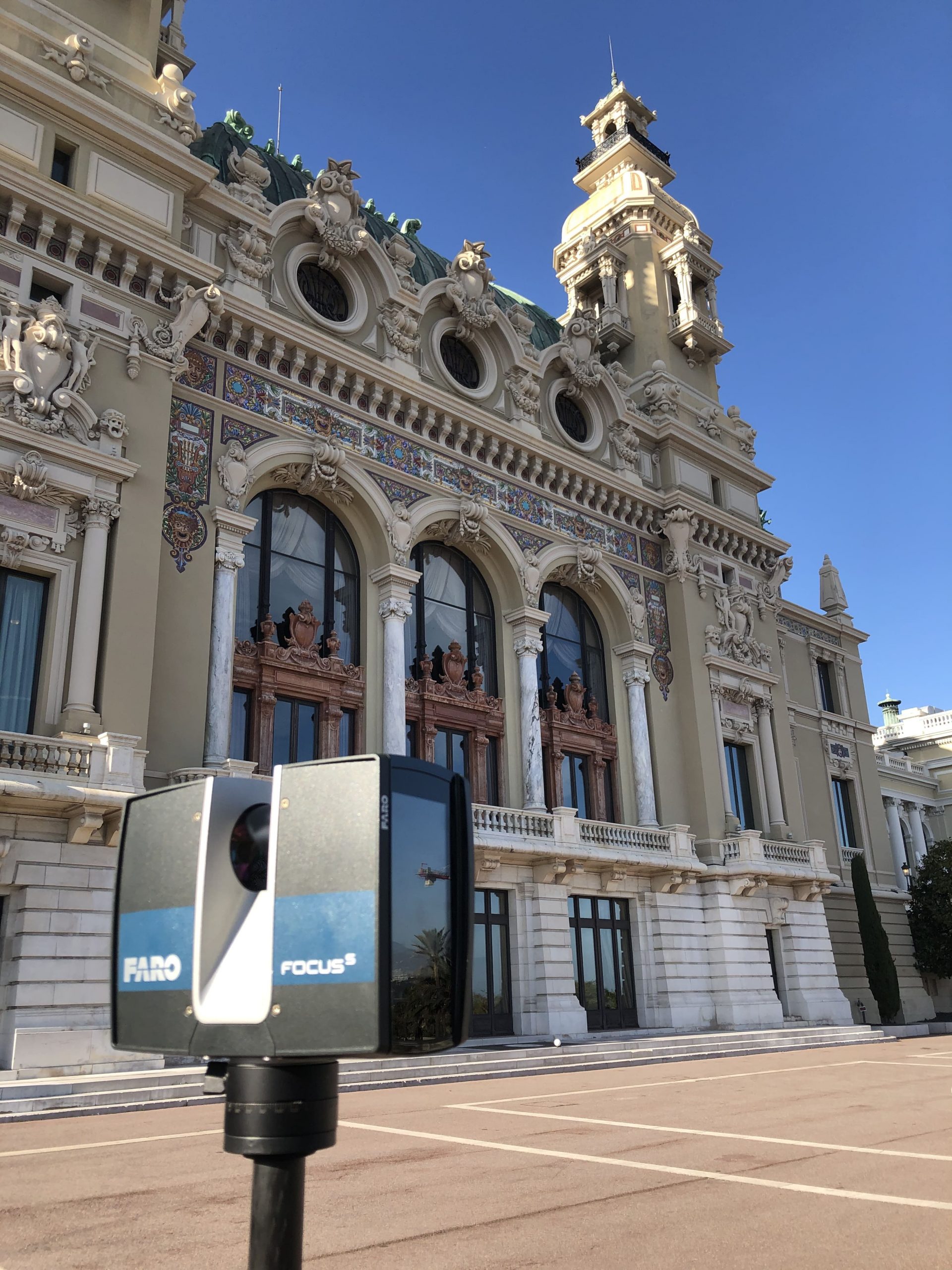
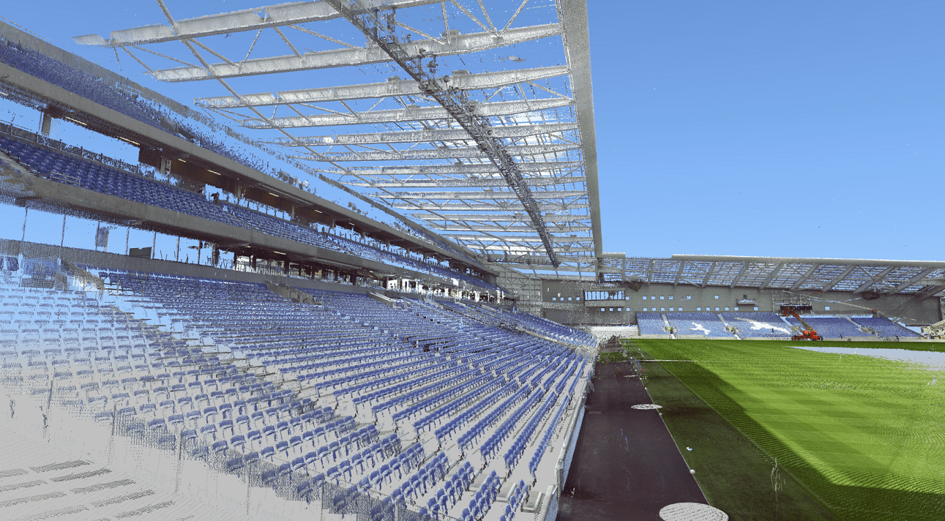
Scanning is usually used to measure surfaces and record spatial relationships, rather than discrete lines and facets. It relies on having line of sight to the object, but you can perform and combine multiple scans to record a subject more fully. Laser instruments can work in conditions where lighting is poor and other surveys would not be practical. Maltby Surveys been investing is this technology for more than ten years and have extensive experience. Every scan is viewable to our clients via simply using a web browser.
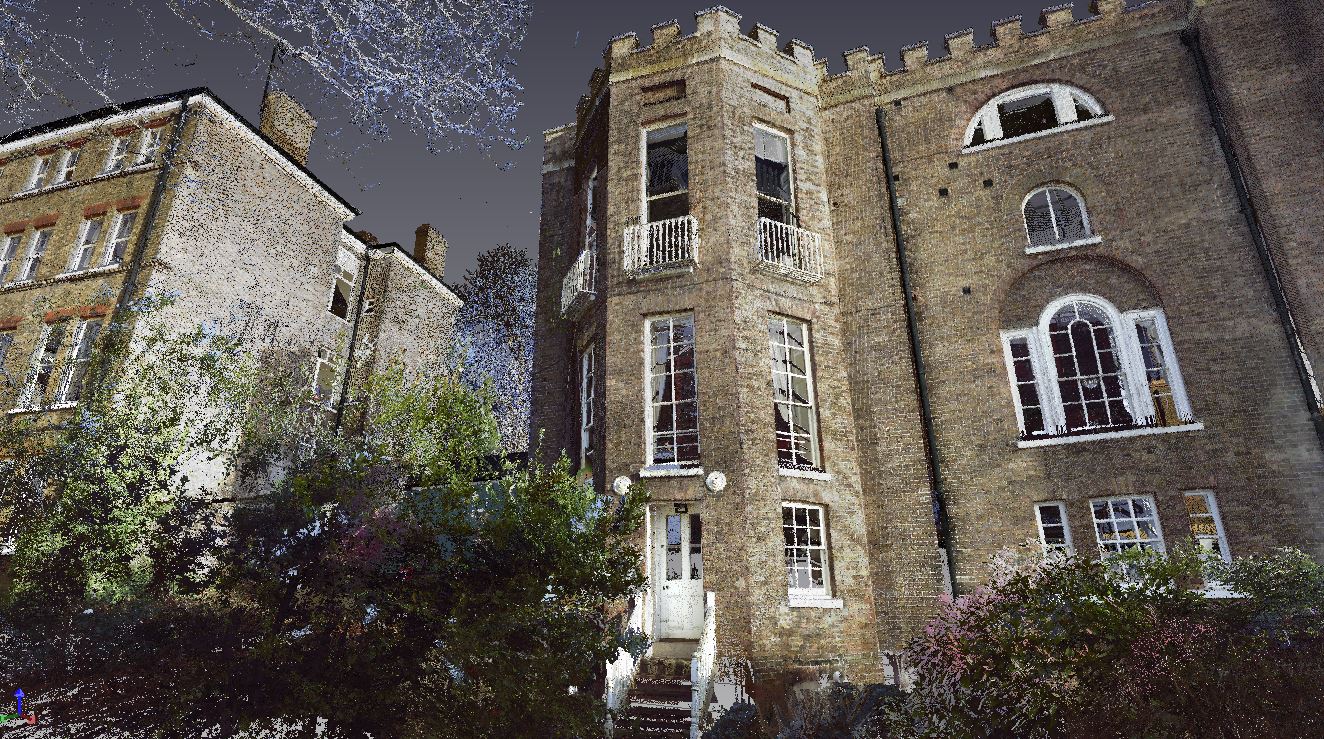
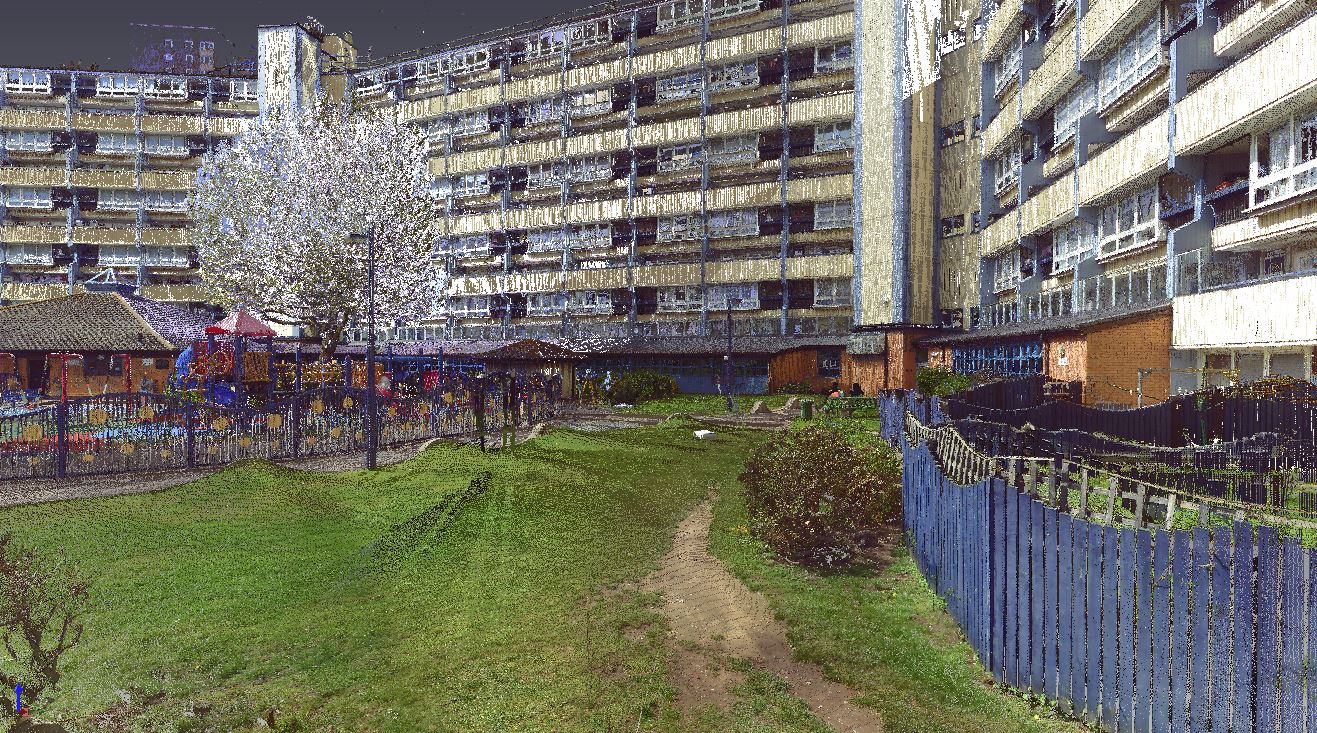
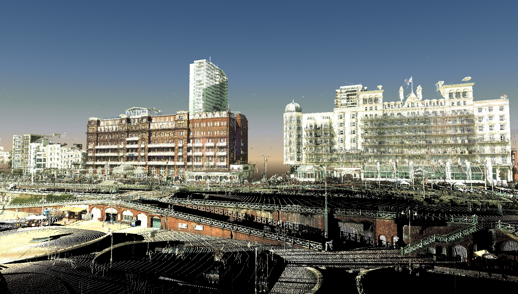
This technique gives you a set of coordinates often referred to as a pointcloud. You can use the point cloud data for:
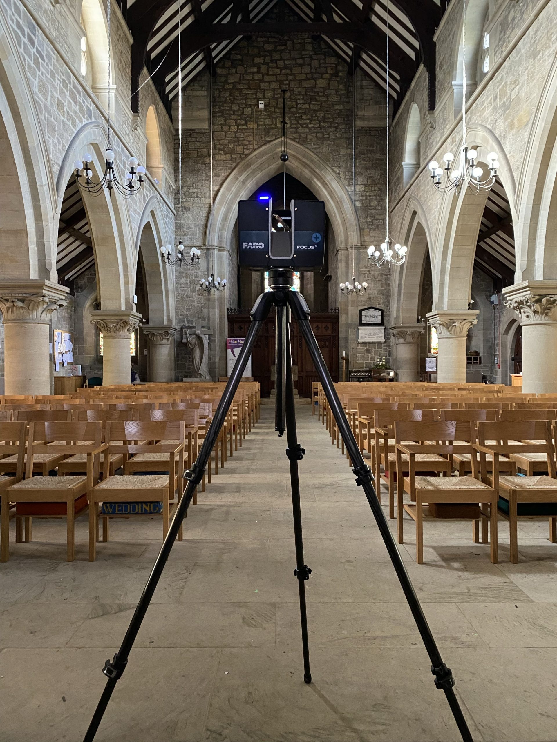
Scanning surveys are carried out in combination with other methods. For example, we always control scanning using conventional survey methods. These can further be augmented using techniques such as terrestrial or aerial photogrammetry captured by drone survey if required.
Commissioning a Laser Scan is not really any different than for a conventionally measured survey. Scanning offers new, additional enhancements over traditional surveying techniques – it is best to decide upon these ahead of commissioning the survey. For example, our default is generally fully coloured scans externally and greyscale scans internally. This can be varied if there are specific areas of interest. Another example may include scanning above an exposed ceiling tile. This may offer additional information on structural details. This needs to be considered at commission stage. Default scan resolutions result in point spacing intervals at about 12mm at 10m distance from the scan setup. This generates vast amounts of data and yet we can capture more ! Our scanners can capture points at 1.5mm spacing at 10m range – this may occasionally be specified particularly where detailing areas of heritage interest. If you would like to discuss anything with respect to commissioning please do not hesitate to contact us directly and we will endeavour to help.